New harbour track
 i
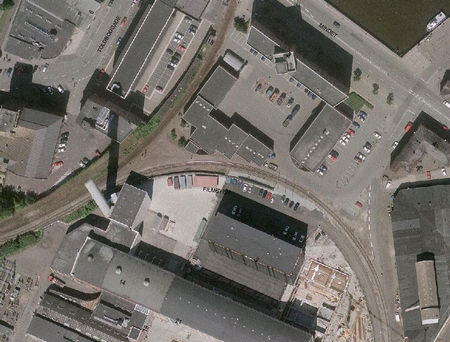
iThe East Harbour in Aarhus is currently served by a railway line running between Havnehuset and Filmbyen. The track has a very small turning radius, which means it cannot be used by all the rolling stock normally employed in freight transport across Europe.
The narrow track means that freight wagons have to be shunted and moved out onto the harbour using shunting locomotives. At the same time, the track means that traffic operations generate an unnecessarily high level of noise.
Plans are therefore in place to construct a new port track.
In 1999, the Infrastructure Committee – set up by the Ministry of Transport, Aarhus County and Aarhus Municipality – presented a number of proposals for an action plan. One of these was to commence work on a new harbour track for the Port of Aarhus.
The proposal was based on the current outdated solution, combined with the expected increase in freight traffic to and from the port.
This increase has since materialised, partly due to the rise in container traffic from overseas, but also because Raillion has relocated its freight operations to Østhavnen.
Proposed solution:
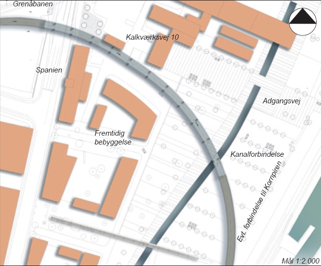
The local plan provides for a solution whereby a new bridge will be built across Spanien, south of the existing one. The track will then run on a bridge or embankment across the Midtkraft site, before ending at street level next to the junction of Jægergårdsgade and Sydhavnsgade.
The track then crosses over to the east side of Sydhavnsgade before Marselis Boulevard joins Sydhavnsgade. This ensures that freight traffic does not disrupt traffic from the future Marselis Tunnel.
From here, freight traffic can be shunted to the Multiterminal or to the new rail terminal associated with the Container Terminal.
The new port track is expected to be completed in 2008.
 i
i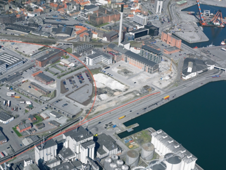 i
i